The Santa Fe County Geographic Information Systems (GIS) division created an online, interactive trails map that is available to the public. The map includes hundreds of miles of trails throughout Santa Fe County, including County trails, Santa Fe National Forest trails, City of Santa Fe trails, and more.
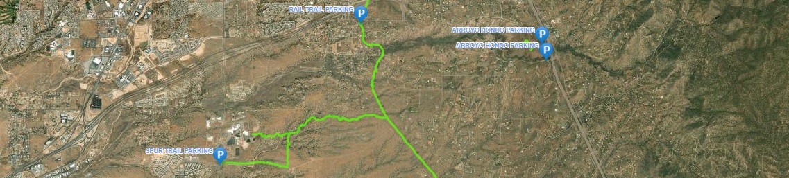
The map contains trail descriptions, elevation profiles, photos, parking locations, and contact info. The map allows users to search for trails based on user type (hiking, mountain biking, horseback riding, backpacking) and includes paved, soft surface single track, double track, and roads.
To access the interactive trails map, click here »
Santa Fe County assumes no liability for errors associated with the use of this data. Users are solely responsible for confirming data accuracy.